Echo, Utah: Gateway to the West
Echo, Utah, once a town of significant geographical and social importance in territorial Utah has become a virtual ghost town, physically isolated from the interstates that run a short distance from its once bustling main street. In its history, it was a key location along the Hastings Cutoff Trail, the Donner Party passed by in 1846 as well as some 75,000 Latter-day Saint emigrants between 1847 and 1869. The Pony Express, various stage and mail lines, the Overland Telegraph, the Transcontinental Railroad, and the Lincoln Highway all utilized Echo’s location for their routes.
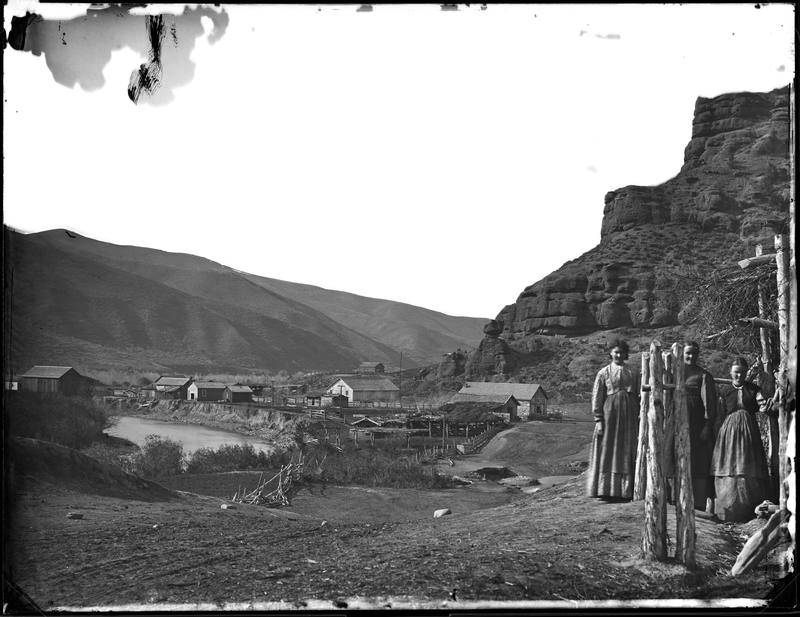
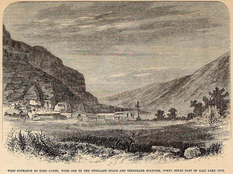
Echo is located at the mouth of the steep sided Echo Canyon,, the bottleneck that directed overland travelers toward the Ogden and Salt Lake valleys. While the Donner Party was the first major American overland group since the mountain men to pass through, the Latter-day Saints or Mormons were the first to make note of its geographical significance when their first wagon train encamp there for almost a week in July 1847. They viewed the spot as an ideal resting spot for overland travelers--a long, broad valley covered in grass and trees. James Bromely noted the location’s desirability and established a large stage station there in 1854, forming the first permanent vestige of a town.
Echo became a strategic location during the Utah War in 1857-1858 as a base of operations for the Mormon Nauvoo Legion defending the Utah Territory from the invading US Army. U.S. military leaders recorded that the narrow canyon and dramatic geological formations made the location perfect for both fortified defense and ambush. Travelers, having heard of Echo’s militant reputation, feared passing through the town for decades.
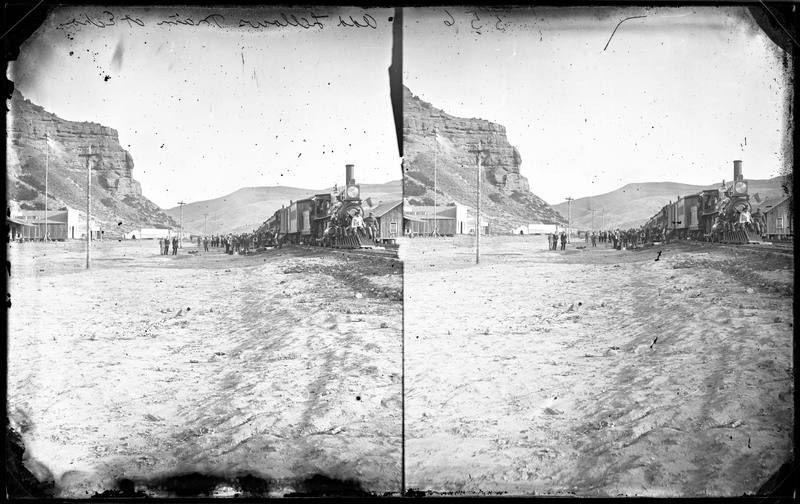
The Transcontinental Railroad entered Echo in 1868, building its own Hell-on-wheels style town to the northwest of the existing Mormon settlement. Echo became an important junction connecting the coal mines of Summit County and the gold and silver mines in Park City with the Union Pacific Main Line until the railroad consolidated its locomotive facilities in Ogden during World War II. After the construction of Interstate-80 in 1986, the town did not receive an interstate exit. Cut off from easy access, and with the railroad abandonment of its branch lines in 1988, the town withered and died.
Images