Mount Evans Scenic Byway
Mount Evans Scenic Byway takes visitors up the highest paved road in North America while also providing an accessible method to “bag” a 14,000-foot peak.
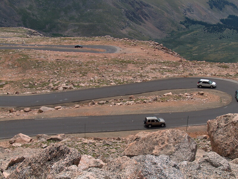
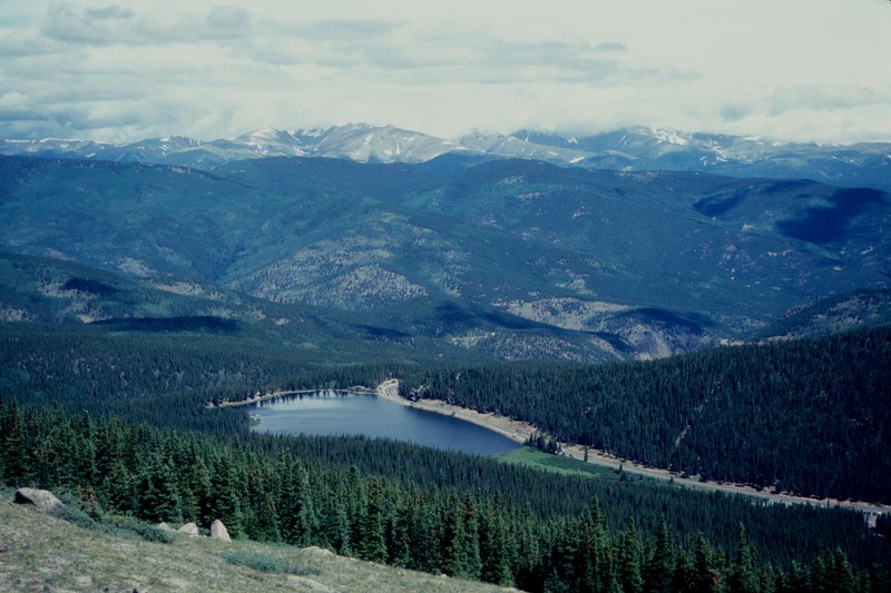
On July 22, 1923, work started on the highest road in North America: the Mount Evans Scenic Byway. Today, visitors can travel its twenty-eight mile stretch one way to reach the summit of the 14,130-foot mountain. The byway begins about sixty miles west of Denver in the mining town of Idaho Springs. Along the way up, visitors pass Echo Lake, Summit Lake, and the Walter Pesman Alpine Garden, which is home to 1,700-year-old bristlecone pines. Along the road, individuals gain 7,000 feet of elevation while those starting in Denver will gain about 9,000 feet. Due to volatile winter conditions, the road is generally only open from Memorial Day to Labor Day.
The first recorded summiting of Mount Evans itself was by landscape painter Albert Bierstadt in 1863. Originally, the mountain was named Mount Rosalie. After the expulsion of Governor John Evans due to the Sand Creek Massacre, the name of the mountain was changed to remember the disgraced governor. The mountain later became more accessible in 1931 when construction of the road was complete and was opened to the public.
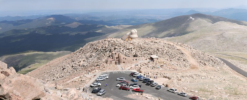
Bagging “fourteeners”—a colloquialism meaning summiting a peak 14,000 feet above sea level—is a popular sport in Colorado, and the mountains are hard to resist. Because Mount Evans Scenic Byway is so easy to access, it makes for an easy first peak. After parking at the top of the mountain, individuals only have to hike a quarter of a mile to the real summit. However, high altitude presents many dangers such as oxygen deprivation, extreme sun exposure, and sudden thunderstorms. Visitors may experience altitude sickness, which can be broken down into acute mountain sickness, high-altitude pulmonary edema, and high-altitude cerebral edema. In its less serious stage, acute mountain sickness, individuals may suffer from headaches, nausea, dizziness, and other systems. High-altitude pulmonary edema (HAPE) becomes a possible concern among 15% of healthy individuals at 14,000 feet but is still not the most dangerous form of altitude sickness. Individuals suffering from HAPE may experience confusions, serious fatigue, and coughing or chest tightness. Finally, high-altitude cerebral edema is the most dangerous form of altitude sickness and if not treated, can lead to coma and death. Its symptoms include confusion, incoordination, and even hallucinations, caused by a buildup of fluids in the brain and sometimes lungs.
In order to prevent altitude sickness, individuals are advised to acclimate to altitude gradually, drink plenty of water, and travel high but sleep low. Sunscreen will also help protect individuals against the sun at 14,000 feet, where the atmosphere provides 50% less protection than visitors may be used to. Also, individuals should try to be off the mountain by the afternoon to avoid thunderstorms. All of these steps can help to prevent disaster on the mountain.
Images