A Brief History of Antelope Island
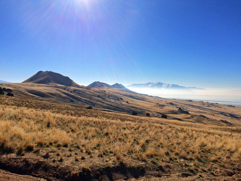
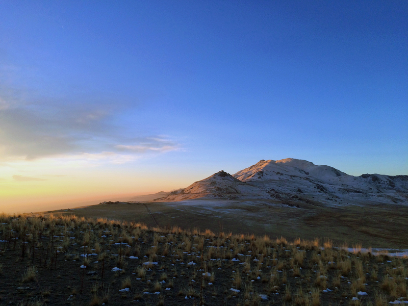
Antelope Island is located in the Great Salt Lake, Utah. Both humans and animals have utilized this land for thousands of years. Antelope Island, sometimes connected to the mainland at low tide, contains natural resources, diverse animal species and ecosystems.
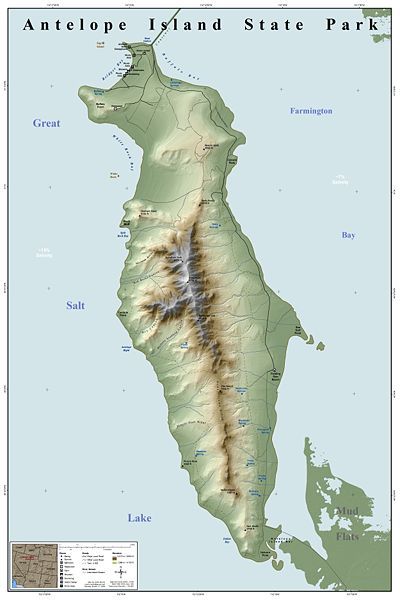
Antelope Island represents the largest island within the Great Salt Lake, covering an area of 42 square miles. First inhabited by indigenous natives about 2,000 years ago, natives utilized Antelope Island up until the 1840’s. Indigenous camps discovered on the island provide the knowledge of this use. In 1845, John C. Fremont and Kit Carson explored the island and documented their expedition. Carson’s journal states that he and Fremont hunted Pronghorn Antelope on this island, just like the members of the Ute tribe, and decided to name the island after the animal.
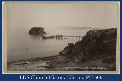
In 1848, The Church of Jesus Christ of Latter-day Saints moved a herd of cattle to the island under the rancher Fielding Garr. The Church continued to run a ranch on the island until 1875, when the homestead movement and the Union Pacific Railroad required land, causing the Church to abandon its use on the island. The land passed through the hands of numerous owners throughout the years until it was purchased in totality in 1981 by the State of Utah.
John White and John Dooly, the ranchers during that time, introduced twelve bison to the island in 1893. Overgrazing and overpopulation with the grazing animals on the island caused it to become necessary to cull and relocate the herd regularly. The herd created a significant genetic pool for use in bison conservation and breeding efforts today. In modern time, numerous species of animals reside on the island, including bighorn sheep, deer, birds, pronghorn, bobcats, among numerous other species.
Antelope Island contains many natural resources. Mining activity included prospecting for slate (1874), gold and copper (1899), oil (1904), and sand and gravel deposits (1967). Eventually, the State of Utah purchased part of Antelope Island in 1969 and bought the rest in 1981, when it officially became a part of the Utah State Parks System. Mining activities halted in 1979 and the state park, which opened to the public in 1993, is currently a habitat for the wildlife inhabiting the island.
Images