John Wesley Powell
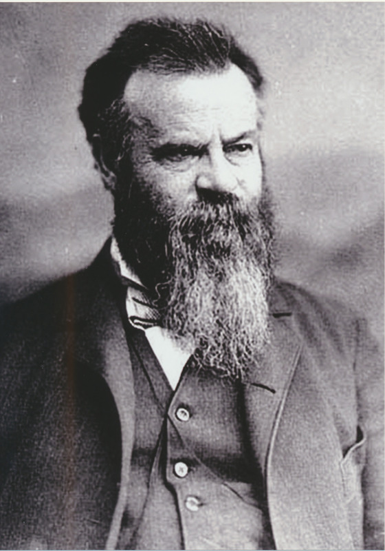
After fighting to preserve the Union in the Civil War—and losing his right arm at the Battle of Shiloh, John Wesley Powell set off to chart one of the last blank portions of the United States geographical map. His expeditions in the late 1860s and early 1870s helped to complete the geographical map and contribute to the environmental knowledge about aridity in the American West.
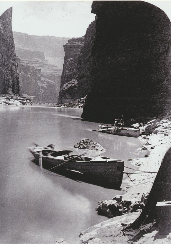
In 1867, on the first of two expeditions down the Green and Colorado rivers, John Wesley Powell’s crew, consisting of ten men, embarked on the adventure of a lifetime. The trek exhausted them both physically and mentally. Sailing on in four poorly-constructed wooden boats, the crew made repairs almost every night. Powell experienced the turbulent rapids at the confluence of the Grand and Colorado rivers. After a devastating accident in ‘disaster falls,’ the men lost one of their boats and about a third of their provisions. The grueling journey continuously tested the company’s morale. Several men abandoned the expedition, planning to scale the walls of the canyon and hike to a Mormon village - they were never heard from again. After a difficult trek, the expedition arrived in Salt Lake City. Their survival solicited national attention, transforming the expedition party into American heroes.
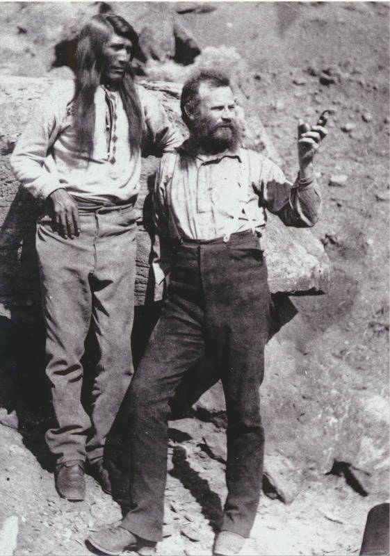
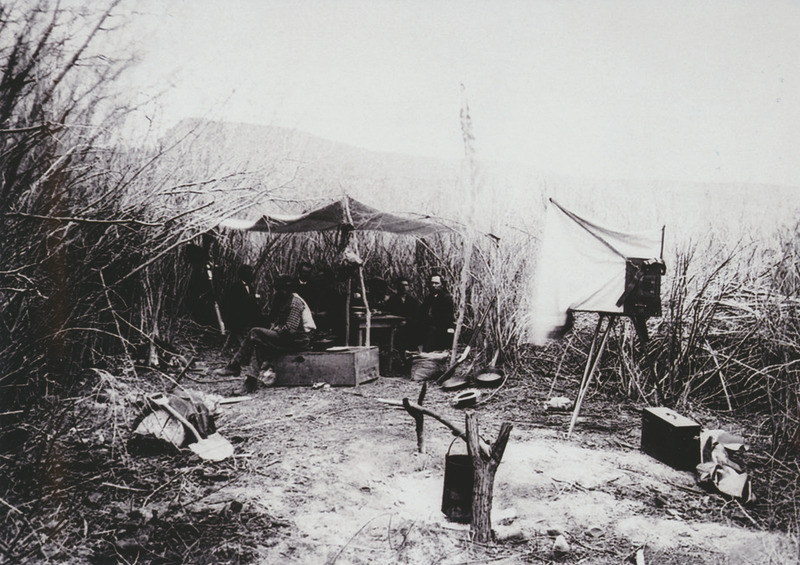
Powell, a little bruised from his journey, remained eager to conduct a second expedition and finish the map of the Grand Canyon. The second expedition began in 1871, but this time Powell and his men came prepared. Landscape photographer E. O. Beaman accompanied them through the Grand Canyon. The photographs, depicting the men and their journey, drew public attention to the expedition. Ultimately, this second expedition contributed to Powell’s discoveries of the remaining blank space on the map. Ultimately, this second expedition, cut short because of the dangerously high and treacherous waters, still allowed Powell to gather extensive scientific information and complete his map. Powell’s sacrifice and adventures made it possible for the world to see the beauties of the American West. His explorations led to the foundation of the Grand Canyon National Monument.
Images